
Evansville ZIP Code Coverage
The USPS Domestic Mail Manual groups Evansville assignments under six listed post-office codes. The table preserves those official groupings without inventing neighborhood coverage. Some entries are ranges, and several individual ZIP codes are listed beneath a different Evansville post-office code. That is a routing fact, not evidence that two places share the same civic boundary. Check a full address in USPS tools whenever delivery precision matters.
| ZIP code or range | Postal assignment | Listed post office | Search note |
|---|---|---|---|
| 47701-47706 | Evansville postal range | Evansville IN 47701 | Verify the exact delivery address |
| 47708, 47710, 47713 | Evansville postal group | Evansville IN 47713 | Use the city map for broad area |
| 47711, 47724-47725 | Evansville postal group | Evansville IN 47711 | Postal grouping is not a neighborhood |
| 47712, 47719-47720 | Evansville postal group | Evansville IN 47712 | Route or box treatment may vary |
| 47714, 47728 | Evansville postal group | Evansville IN 47714 | Confirm municipal status separately |
| 47715-47716 | Evansville postal group | Evansville IN 47715 | Use USPS for delivery details |
| 47730-47737 | Evansville postal range | Evansville IN 47701 | Verify whether a precise code serves the address |
The research did not find an official current table assigning every code to named Evansville neighborhoods, stations, box-only sectors, or city-limit exceptions. The safe Evansville ZIP code directory therefore reports only what the USPS list and local map support. It does not guess about a code’s social or civic identity.
Mapping Evansville ZIP Areas
The official Evansville and Central Vanderburgh ZIP-area map gives broad visual orientation. It helps place a postal code on the east, west, north, or central side of the local area. The image is not parcel-level proof. A boundary drawn at city-map scale cannot establish which side of a line contains one lot, and it cannot replace the standardized address returned by USPS.
Evansville’s official GIS adds the next layer. The parcel service exposes parcel boundaries and query tools, while separate services cover assessment neighborhoods and neighborhood associations. Each is a different geography. A postal code, association area, ward, assessor neighborhood, and legal parcel must not be treated as interchangeable.
Boundary rule. A ZIP result narrows delivery geography. Confirm Evansville municipal status and ownership with the city map, GIS, and parcel record.
Evansville USPS Lookup Modes
The USPS ZIP Code Lookup offers three useful paths: address to ZIP, city and state to all associated codes, and ZIP to listed cities. For a resident search, the address mode is strongest because it standardizes the deliverable address. USPS expressly warns that a successful lookup does not confirm that a person or company is located there. The tool answers a mail-routing question, not a residency question.
| Lookup mode | Input | What it establishes |
|---|---|---|
| By address | Street, city, and state | Standardized deliverable address and ZIP detail |
| By city and state | Evansville, Indiana | Codes associated with the postal city |
| ZIP to cities | A five-digit code | Postal city names tied to that code |
| AIS Viewer | Paid address-data search | City, county, delivery type, and ZIP+4 fields |
The USPS basics screen explains the postal role of these codes:
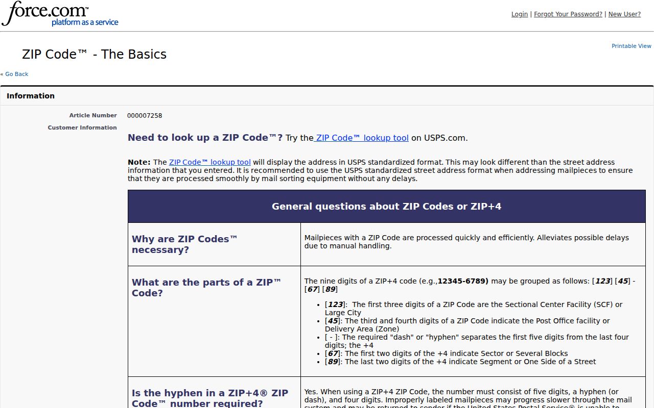
Its guidance is the right starting point before local records are filtered by an assumed code.
Finding Evansville Residents by ZIP
A ZIP-wide inquiry should move from delivery data toward the official record that answers the real question. The Vanderburgh XSoft home search accepts an owner, address, or property number, but its captured advanced fields do not provide a dedicated ZIP filter. The Treasurer search uses district, parcel, name, tax year, and property address. Indiana Voters’ public status check requires the registrant’s county and personal identity fields, not a ZIP-wide public roster. Those limits prevent unsupported claims about everyone in one postal area.
- Use USPS address lookup to confirm the standardized street line and five-digit code.
- Place the result on the official local ZIP-area map for broad orientation.
- Open XSoft or Evansville GIS and match the exact parcel rather than the ZIP alone.
- Search the correct official roll by owner, address, parcel, or person, using its actual fields.
- Once a result narrows to a named road, follow the Evansville street directory workflow.
For voter data, the public Indiana Voters screen checks one registration through name, date of birth, and Vanderburgh County. A broader computerized file request follows county policy and the VRG-24 agreement. Restricted fields and Address Confidentiality Program records remain protected. A ZIP code directory cannot bypass those rules.
Evansville ZIP Plus Four Detail
The USPS AIS Viewer is a paid, current data viewer. Research captured fields for city and state, county, delivery type, ZIP+4, and address lookup. Its data are encrypted and cannot be exported from the viewer. It can resolve a mail detail that a five-digit Evansville ZIP code leaves broad, but it still does not establish ownership or who occupies a parcel.
The official viewer can be inspected at the linked USPS source:
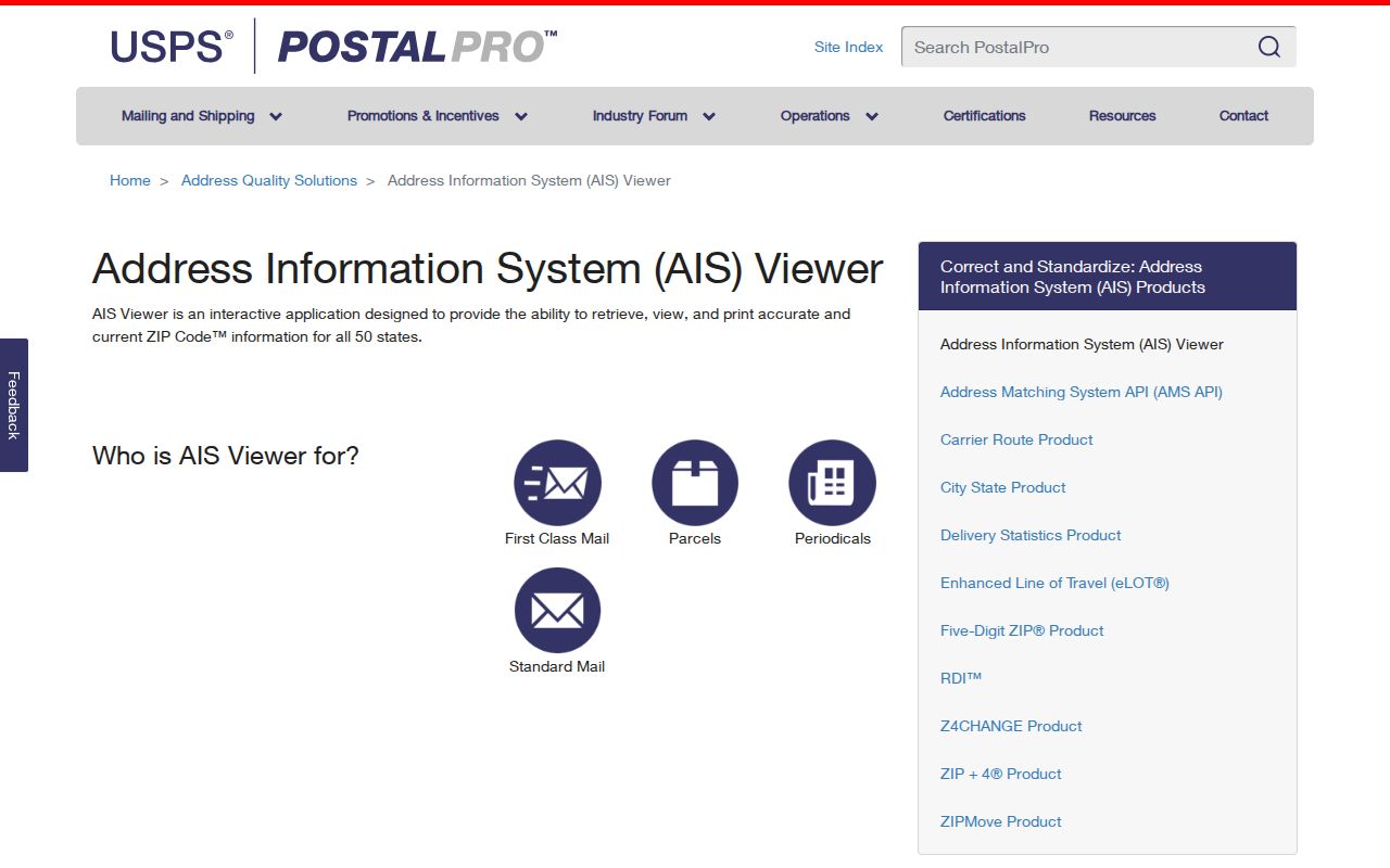
The interface reinforces the difference between precise postal data and county resident records. Use the former to correct an address, then use the latter for a parcel or named-person check.
Evansville ZIP Terms Explained
Postal terms describe how mail moves. They do not name a household or settle the edge of Evansville. Keeping the terms separate helps a researcher choose the right map and avoids reading too much into a code printed on an old envelope.
- ZIP code
- A five-digit postal routing area that may cross local political or neighborhood lines.
- ZIP+4
- A five-digit code plus four digits that narrow delivery to a smaller segment or point.
- PO-box ZIP
- A code or assignment used for post-office boxes rather than a simple street area.
- Unique ZIP
- A postal code assigned to one high-volume organization or institution.
- Carrier route
- A set of delivery points served in a postal carrier’s route.
The research did not confirm that a specific Evansville code is exclusively a box or unique-institution code. Those definitions explain the categories only. Check the current USPS result for a real address instead of applying a label from memory.
Old Evansville Addresses and ZIPs
ZIP codes cannot solve an address that changed before the modern postal system. Evansville adopted city numbering in 1873, and the 1874 city directory was the first local volume to use street addresses. The 1929 directory supplies a useful old-number and new-number bridge. This local history is crucial when a directory, deed, map, or obituary seems to place the same family at two numbers.
Start with the exact directory address, check the 1929 cross-reference, and then compare the legal description, Sanborn block and lot, current GIS parcel, and Treasurer property address. Willard Library’s annotated Streets and Buildings files offer another local clue. A stable legal description often gives a firmer bridge than a postal code or street number that changed.
Note: Treat Evansville’s 1929 number bridge as an address tool, not proof that a named person remained at the parcel.
Evansville ZIPs Versus City Limits
A postal city is not the same as a municipal city. The USPS list controls mail assignments, while Evansville and Vanderburgh County maintain government boundaries and parcel records for other purposes. A mailing address that says Evansville may sit outside the municipal line, and one ZIP area may contain several wards, association areas, assessor neighborhoods, or school districts. The official sources inspected did not provide a single authoritative table resolving every edge case.
Use a three-part test. Confirm the standardized address with USPS. Place it on the local ZIP-area map. Then use GIS and XSoft to identify the parcel and the relevant civic layers. If the boundary still matters, call the Assessor at 812-435-5267 or contact city GIS staff. For a legal description, ask the Vanderburgh Recorder. A focused request under the Indiana Access to Public Records Act, IC 5-14-3, may be appropriate for an address-point or map-layer record not posted online.
This method keeps the Evansville ZIP code directory within its proper role. It can sort a search into a useful postal area. It cannot name all residents, prove city residency, define a neighborhood, or replace a parcel boundary.