
Sources Around Evansville Neighbors
The public view of an Evansville block is split among parcels, tax records, boundary layers, election records, and community groups. Each answers a different question. The parcel map defines nearby land. XSoft can identify the owner shown for each parcel. Association maps show a civic area, while local directories help a resident reach a group contact. None of these is a live household roll.
| Source | What It Shows About a Block | Access |
|---|---|---|
| Evansville GIS parcel service | Parcel shapes, adjacent lots, and queryable parcel IDs | Free online map service |
| Vanderburgh XSoft | Owner, site address, parcel, legal description, class, and district | Free owner, address, or property-number search |
| Neighborhood association GIS | Mapped association polygons around a parcel | Free query and identify service |
| Indiana voter records | Status for an exact person; approved file products under state rules | Public lookup or VRG-24 request |
| UNOE and police association pages | Group names and community contact paths | Public directories, subject to change |
Ownership is not occupancy. The owner's mailing line may differ from the site address, and a renter or family member may never appear in the parcel roll. Keep those limits visible whenever names are used to describe Evansville neighbors.
Choose the source from the question. Use parcel geometry to decide which lots count as adjacent. Use XSoft to confirm the owner recorded for a lot. Use the association directory for a public group contact, and use a ward map only for ward geography. This source-by-source method keeps a civic map from being mistaken for a private roll. It also makes the work easy to repeat when a parcel changes hands or a group updates its boundary.
Map an Evansville Block
The Evansville GIS Parcel Data service supports query and identify operations. Its parcel boundaries provide a repeatable way to define the immediate block. Start at one known lot and walk outward only as far as the question requires.
- Locate the target address and record its parcel identifier.
- Select each parcel that shares a side or rear line, then include the lots directly across the street.
- Run each parcel number in XSoft and record the owner, site address, legal description, and property class.
- Compare the owner's mailing line with the site address, but do not treat a match as proof of every occupant.
- Overlay association, ward, ZIP, school, or assessment layers separately and label each boundary by its source.
The result is a parcel inventory, not a list of private households. For every parcel on a long named road, use the Evansville street directory workflow instead of extending this block method without a clear limit.
Record the date of each search. XSoft and the Treasurer can update on different schedules, and a deed may be recorded before another portal reflects the transfer. When two owner fields disagree, check the recorded instrument or ask the Assessor or Recorder which date each system represents. Do not merge two similar parcel IDs. One digit can shift the work to a different lot.
Classify Evansville Neighbor Parcels
The assessor's neighborhood service includes layers for property class, 2010 neighborhood codes, and total assessed value. Those layers can reveal where a block shifts from one assessment area or property class to another. They are tax and mapping tools. They do not define who belongs to a social neighborhood.
The assessment neighborhood layer shows the service structure.
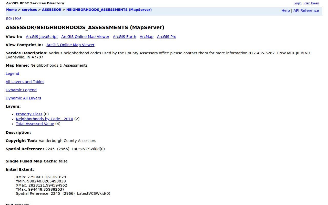
Use the code as one mapped attribute, then check the association polygon and city ward on their own terms. Boundaries can overlap without conflicting because each was made for a different job.
Evansville Neighbor Association Areas
Evansville GIS publishes a separate neighborhood-association polygon service. Querying or identifying the polygon around a parcel can suggest the local group that serves the block. The layer is not a membership roster, proof of dues, or proof that an owner takes part.
The official neighborhood association GIS service makes that geographic distinction visible.
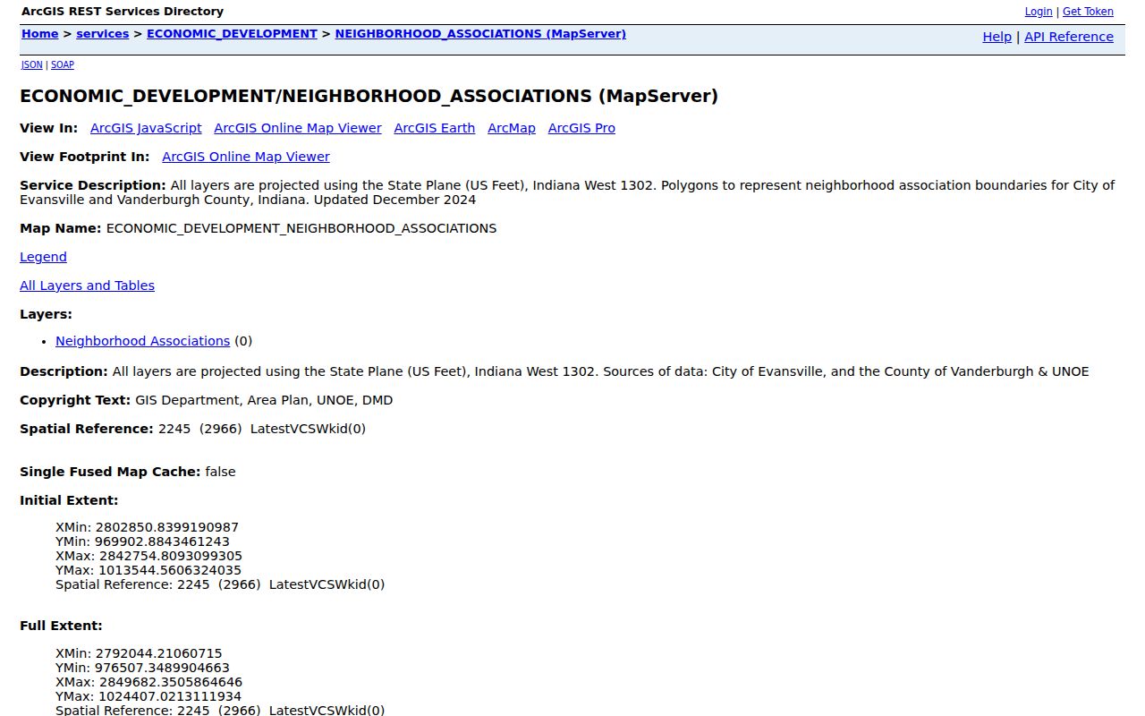
This is the strongest public way to connect an Evansville address with an association area while avoiding claims about private membership.
Some blocks fall near the edge of a polygon. A map scale, generalized line, or newer group boundary can affect the visual result. Query the parcel and association layers directly when the edge matters, then contact the group through its public channel. If no group appears, United Neighborhoods or city planning staff may know whether an active association serves the area.
Note: Check the live polygon and directory because association names, boundaries, and participating groups can change.
Contact Evansville Neighborhood Groups
United Neighborhoods of Evansville maintains a neighborhood directory, app, and events listings. The Evansville Police Department also publishes an association overview with groups such as Akin Park, Jacobsville, Lamasco, Lincoln-Bellemeade, Tepe Park, Westside Improvement, and Wheeler. Use the live pages as the controlling list rather than copying an old roster.
United Neighborhoods
Browse current neighborhood groups and use the listed public contact path for meetings or local questions.
Police Association Index
Check the police neighborhood overview for the current network of Evansville groups.
Area Plan Commission
Use planning maps and records when an adopted boundary or land-use question affects the block.
The UNOE neighborhood directory shows the community-facing format.
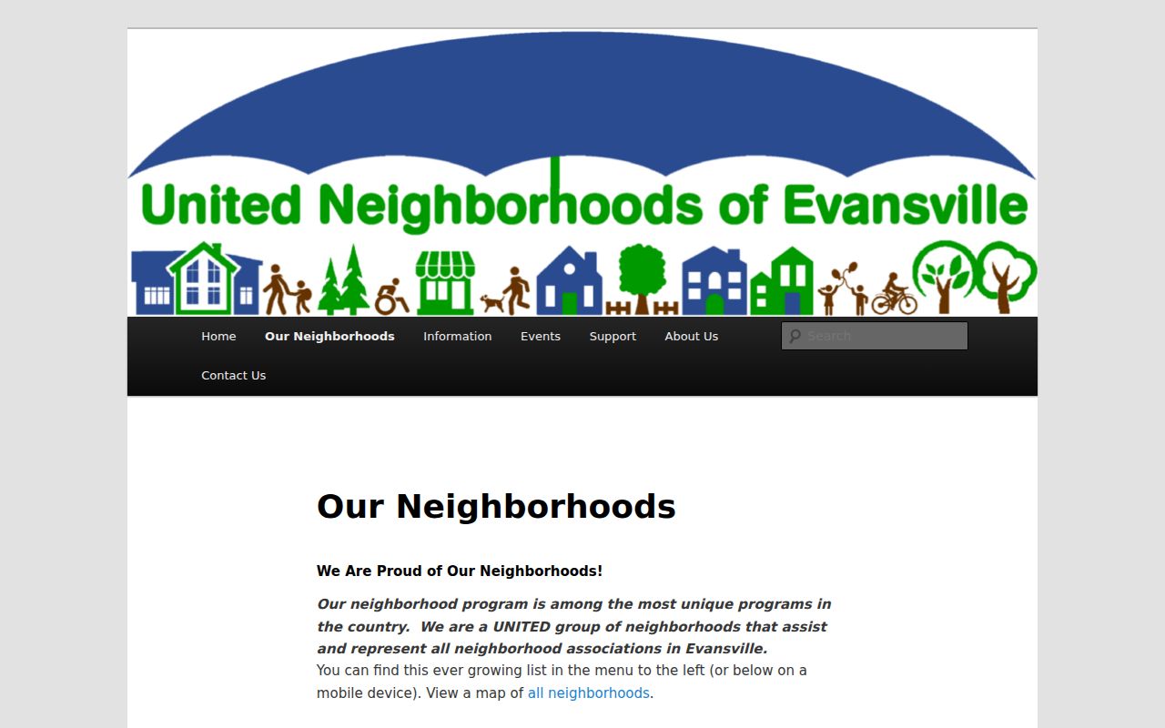
Contact a group for public meetings, events, and local issues. Do not ask an association to disclose a private resident list.
Public group contacts are better suited to questions about cleanups, traffic, preservation, meetings, and block events. The directory may list an officer or a general channel, but that contact does not speak for every person inside the mapped area. Note the date and group name when the contact will be used in a civic record request or long-term research file.
Separate Evansville Block Boundaries
A parcel can sit inside a city ward, ZIP area, school area, tax district, historic district, assessment neighborhood, and association polygon at once. These labels should not be merged. The city ward map serves elections. A ZIP is postal geography. Historic districts reflect preservation rules and history, while assessor neighborhoods support valuation work.
The city reports eight historic districts and 81 individually listed properties. Preservation walks cover Downtown, West Franklin, Riverside, Culver, and Lincolnshire. Willard Library's Streets and Buildings collection adds address notes from the mid-1800s through the late 1990s. Those historic facts can explain the form of a block without naming current Evansville neighbors.
Use the city's mapped local resources only for the boundary or public place they describe.
The ward layer should stay labeled as a ward. It does not prove association membership or household identity.
Evansville Voter Records by Block
The public Indiana Voters screen checks one registration using exact personal details. It is not a street roster. Computerized voter-file access follows the VRG-24 request process and Indiana's statutory conditions. Available request choices may include countywide, township, precinct, vote-history, voter-registration, or walking-list products, depending on approval and lawful purpose.
Protected voter information and restricted addresses must stay protected. Contact the Vanderburgh Election Office or use the formal state process when a civic project truly needs an approved file. For ordinary neighbor contact, public association channels are the better route.
Historical voter material also has limits. The current status screen should not be stretched into a claim about who occupied a block in an earlier year. For an old block, use city directories, census schedules, newspapers, plats, and Sanborn maps through EVPL, Willard Library, or the State Library. Label the date of each source so a past household is not presented as current.
Verify Evansville Neighbor Results
Official records and commercial neighbor tools make different claims. A county source identifies the office, date, fields, and limits. A commercial result may blend old addresses and names without showing how the match was made.
| Source Type | Best Use | Main Limit |
|---|---|---|
| Parcel and assessor rolls | Confirm land, owner, and recorded site details | Owner is not a full household |
| Official boundary layers | Place the block in a ward or association area | Boundary is not membership |
| Commercial neighbor tools | Possible lead for a name or old address | May be stale, merged, or weakly sourced |
Confirm any useful lead with the record custodian. An Evansville neighbor search should state what a source proves and avoid filling gaps with assumptions.
Privacy for Evansville Neighbors
Parcel records generally show land and owner information, not every renter, child, guest, or family member. Utility and delivery records are not public neighbor directories. Indiana's Address Confidentiality Program and the home-address restriction route under IC 36-1-8.5 can also shield qualifying information. Public data may be incomplete for a sound legal reason.
Ask only for the minimum facts needed. If the aim is a block event, planning issue, or safety notice, use a public group contact or agency channel. Do not compile a private dossier on nearby people.
When a portal does not expose the needed adopted map or planning record, a focused request under the Indiana Access to Public Records Act can go to the custodian. Ask for the named layer, map, ordinance, or date range. Public access does not override an exemption, and an agency may provide the record in the form it keeps rather than creating a new roster.
Lawful use. Use Evansville neighbor records for civic contact, personal safety, or community history. Never use an address or map to watch, harass, threaten, intimidate, or harm anyone.